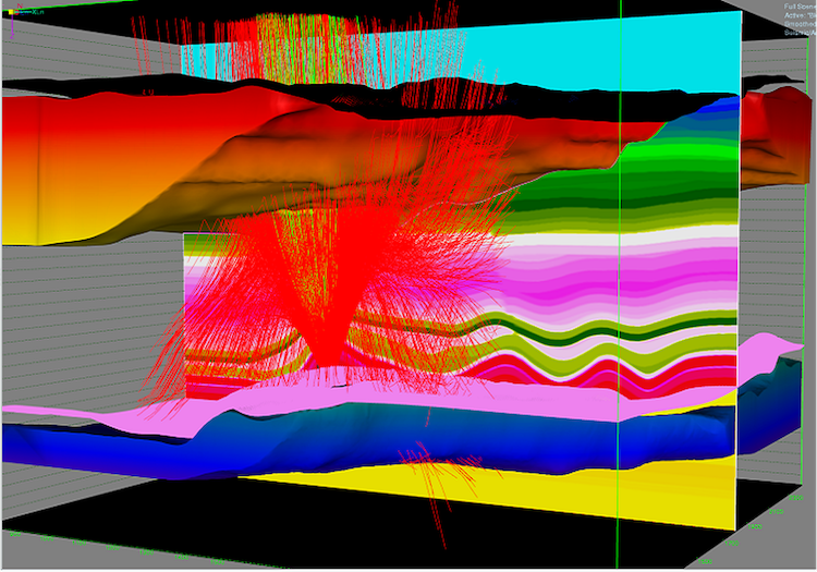
EarthStudy 360 uses the complete recorded wavefield to provide a highly accurate and detailed description of the subsurface. The system delivers a complete set of data to depth imaging and processing experts, as well as to interpretation specialists, enabling them to achieve accurate subsurface velocity models, structural attributes, medium properties, and reservoir characteristics.